Garmin GPSMAP 9500 black box with worldwide basemap
€5999.99
Product is orderable

-
1.583
-
38,3 x 19,8 x 4,7 cm
-
None (external display)
-
1024 x 600 1280 x 800 1920 x 1080 1920 x 1200 3840 x 2160 Letterbox formāts 1024 x 768 1280 x 1024
-
None (external display)
-
IPX7
-
5000
-
50 saved tracks
-
100, Waypoints 5,000
-
yes (with external GPS antenna)
-
True
-
False
-
False
-
True
-
True
-
True
-
True
-
True
-
True
-
Panoptix™ sonar
-
Yes (with compatible black box sonar)
-
True
-
10 - 32 Vdc
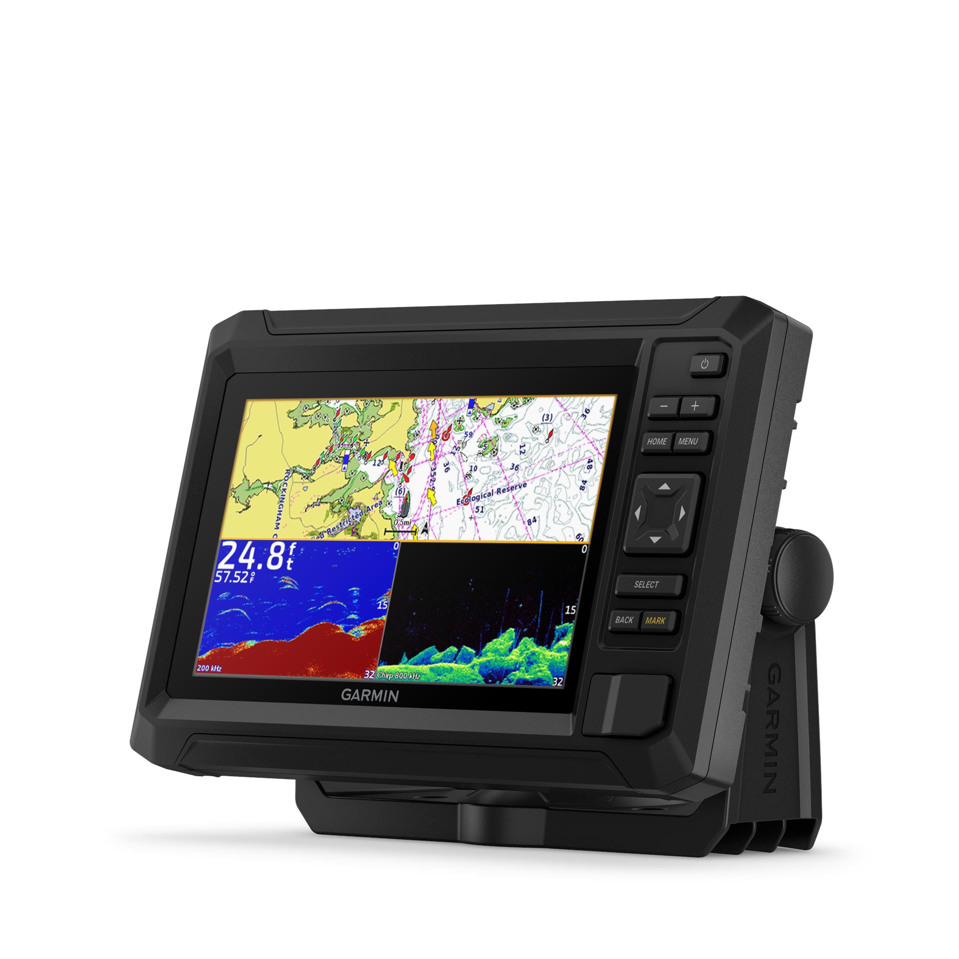
Plot Your Paradise with a Premium Black Box System
Connect to third-party HDCP compliant monitors through HDMI with USB DRD capability for touchscreen support
For superior performance, gain up to 7 times faster processing power than previous generations
Build extensive networks with reliable connectivity and gigabit speeds on the new Garmin BlueNet™ network
Integrate with the Garmin suite of sonar options, including LiveScope™ and Panoptix™ sonars, GSD™ sonar modules1 and more
Take command of monitoring, control and automation systems with support for EmpirBus™ systems and other third-party solutions via OneHelm™ integrations
Enjoy high-quality entertainment with video integration capabilities through HDCP distribution
For captains who demand the best
Bring paradise to the dash of your boat when you connect the premium GPSMAP 9500 black box to your HDCP compliant monitors. It features up to 7 times faster processing power than previous generations for superior performance — so you can draw charts quickly and calculate routes with lightning speed. It adds comprehensive connectivity throughout your vessel.
Create a Fully Integrated Helm
With the GPSMAP 9500 black box, you can build an extensive network for your helm that links multiple chartplotters, monitors, radars, cameras and sonars — and enjoy up to 10 times faster networking speeds with minimal lag. Keep tabs on engine performance with extensive engine integration. Control your autopilot with any compatible chartplotter on the network with autopilot integration. Connect cameras to see footage directly on the chartplotter, including a bird’s-eye view of your vessel with support for our Surround View Camera System2. Enjoy audio and video integrations that allow you to show and hear the same video throughout the screens and speakers on your network.
Connect with Your System
Integrated Wi-Fi®, BLUETOOTH® and ANT® technologies connect compatible devices to your system. You’ll enable easy, wireless software updates via the ActiveCaptain® app with your compatible smartphone or tablet. Use your compatible Garmin smartwatch for remote control of key MFD features, including chart zoom, layout shortcut, Fusion® stereo, autopilot and more — and stream important data from your system directly to your wrist. You can even use spoken commands to control chartplotters through your compatible headset.
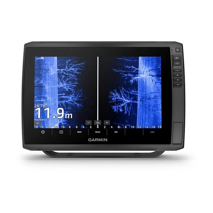
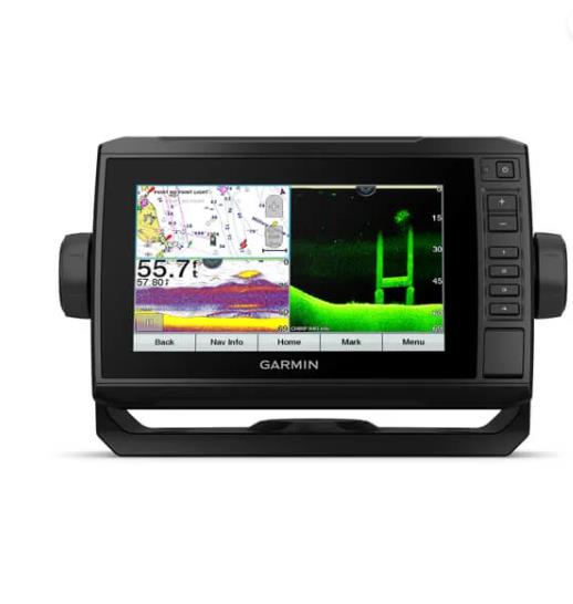
Fish with Stunning Detail
Get full support for our suite of sonar options1, including CHIRP traditional sonar, GSD™ 28 xCHIRP high-powered sonar, ClearVü™ and SideVü™ scanning sonars and Panoptix™ PS70 or LiveScope™ XR live sonar options.
Add Our Best Chart Coverage
Get support for detail-rich mapping of coastal waters, lakes and rivers for your region with Garmin Navionics+™ and Garmin Navionics Vision+™ cartography. Garmin Navionics+ charts make it easy to plot your course with depth range shading, 0,5 m contours and more. You can also upgrade to Garmin Navionics Vision+ charts, which include premium relief shading for an easy-to-interpret, clearer view of bottom structure, satellite imagery for superior situational awareness and more. Both products provide Auto Guidance+™ technology3 that lets you navigate with suggested dock-to-dock routings. Plus, charts are constantly being enhanced with new and amended content; thousands of updates are made every day. Your purchase includes a 1-year subscription to daily chart updates via the ActiveCaptain app and much more.
1 Sonar black box and transducers sold separately
2 Required accessory sold separately
3 Auto Guidance+ is for planning purposes only and does not replace safe navigation operations
Wi-Fi is a registered trademark of the Wi-Fi Alliance. The Bluetooth word mark and logos are registered trademarks owned by Bluetooth SIG, Inc. and any use of such marks by Garmin is under license. Sirius, XM and all related marks and logos are trademarks of Sirius XM Radio Inc.
Engineering enhancements are ongoing and may not be reflected in the pictures, videos and specifications.
Same brand products